category · mining & exploration
ExploringReading the ground
Zambia has mineral potential and very few tools to read it. The information that does exist is scattered, expensive, and written for an audience somebody else.
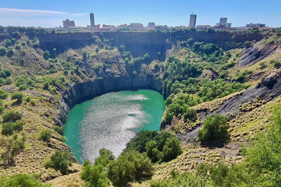
Photo: Bernard Dupont on Wikimedia Commons, CC BY-SA 2.0

On our roadmap
We have not started here yet. The 2 subcategories below are on our roadmap, and we will take them on in time.
Geology
Reading a rock with a knife, a tile and a magnet.
The Copperbelt and Zambia's gemstone fields hold huge mineral wealth, and good geology teaching material is hard to find.
- Mineral identification
- Geology learning
- Map layers
Field tools
Records that start in the field, not the office.
Exploration crews and small-scale miners still record a lot of field work on paper, and it gets lost.
- Sample logging
- Safety checklists
- Equipment tracking
What we'd build
Four ideas, in the order we would test them. None are built.
-
01
Geological data in plain sight
Maps and records a person can actually open, instead of a paywalled report written for someone with a desktop and a budget.
-
02
Sample and assay records
The boring, essential bookkeeping a small-scale prospector currently does on paper — where each sample came from, and what it came back as.
-
03
Information for the community
When a site opens: jobs, water, land, and what it actually means for the people living next to it — published before the trucks arrive, not after.
-
04
Survey tools for small operators
The inexpensive kit that turns a serious operation into a possible one, instead of an entry fee only a large company can meet.
Where it stands
Exploring
Research and data partnerships, nothing built. This is the category most likely to need people we have not met yet — geologists, small-scale operators, and the communities around proposed sites.
We will not pretend the data problem is a software problem. Part of what is missing here is permission, trust and existing records — and a well-designed tool cannot supply any of those on its own.